Travel guide
Best Hiking Apps and Maps for the UK and Europe: OS Maps, Komoot, AllTrails and what3words Compared

OS Maps, AllTrails, Komoot or what3words? I compare the best hiking apps and maps for the UK and Europe, with 2026 prices and which one is worth paying for.
Which hiking app should you download before your next walk? OS Maps, AllTrails, Komoot, what3words... there are so many, and they all promise to keep you on the right path. But they do quite different jobs. Some are best for planning, some for finding new routes, and one is mainly for telling people exactly where you are.
We have used hiking apps on almost every walk for years, from the Chilterns to the Swiss Alps. At home we normally use the OS Maps app or AllTrails, and abroad AllTrails has been my go-to. So in this guide I compare the best hiking apps and maps for the UK and Europe, with 2026 prices, and explain which one is worth paying for.
This post may contain affiliate links. If you make a purchase through one of these links, I may receive a small commission at no extra cost to you. As an Amazon Associate, I earn from qualifying purchases.
Quick answer
- Best for UK hill walking: OS Maps. Premium gives you all the OS 1:25k and 1:50k maps of Great Britain, online and offline. It costs £7.49 a month or £35.99 a year in the UK App Store (2026).
- Best for finding routes in the UK and abroad: AllTrails, with over 500,000 trails. Offline maps need AllTrails Plus.
- Best for planning your own routes: Komoot. Your first region is free forever, and the World Pack (£29.99) unlocks offline maps everywhere.
- what3words: great for meeting points and car parks, but rescue teams say don't rely on it alone in an emergency. Know your grid reference too (OS Locate is free).
- Europe extras: the official swisstopo app is free in Switzerland, offline maps included. Mapy.com has worldwide outdoor maps.
- Always carry a backup: a paper map and compass, and a power bank.
Hiking apps compared
| App | Best for | Coverage | Free version | Paid options (UK App Store, 2026) |
|---|---|---|---|---|
| OS Maps | UK hill walking | OS 1:25k and 1:50k maps of Great Britain | Free to download, OS mapping needs Premium | £7.49 a month or £35.99 a year |
| AllTrails | Finding popular routes | 500,000+ trails worldwide | Trail search and navigation | Plus £35.99, Peak £79.99 |
| Komoot | Planning your own routes | Worldwide | First region free | World Pack £29.99, Premium £59.99 |
| what3words | Sharing an exact spot | Worldwide, 3 m squares | Free | Not needed |
| OS Locate | Finding your grid reference | Great Britain | Free | Not needed |
| swisstopo | Hiking in Switzerland | Official Swiss national maps | Free, including offline maps | Not needed |
| Mapy.com | Europe and further afield | Worldwide outdoor maps | Yes, with offline maps | Premium £18.99 |
Prices change often, and there are regular sales. Always check the price in your app store before you subscribe.
OS Maps: best for UK hill walking
OS Maps is the Ordnance Survey's own app. If you grew up with the orange Explorer maps, you will feel right at home. With Premium you get all 607 OS Explorer (1:25,000) and Landranger (1:50,000) maps of Great Britain. You can download them for offline use, which is a lifesaver in the hills where there is no signal.
We normally use OS Maps or AllTrails to navigate on our walks, for example on our Sundon Hills to Sharpenhoe Clappers walk in Bedfordshire. OS mapping is really detailed, with contours and rights of way clearly marked. That makes it the best choice for proper hill days in the Lake District, Eryri or the Scottish Highlands.
Premium features (2026):
- OS 1:25k and 1:50k maps of Great Britain, online and offline.
- Route planning for walking, cycling, running, horse riding and paddling. In national parks it can snap routes to paths for you.
- Print A4 and A3 maps and routes as a paper backup.
- 3D views and GPX export of your recorded walks.
Price: £7.49 a month or £35.99 a year in the UK App Store (2026). Look out for offers. For example, BMC members can get a 60-day free trial for new subscribers until 31 March 2027.
Downsides: the detailed OS mapping covers Great Britain only. It is also more of a map than a route-finding app, so you need to know where you want to go.
AllTrails: best for finding routes
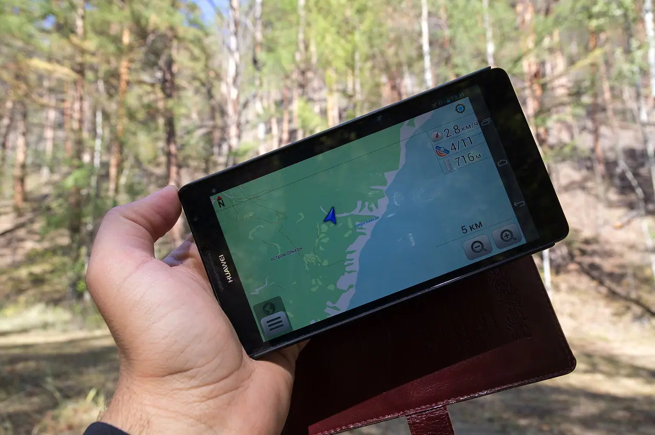
AllTrails is the app I have used the most, both in the UK and abroad. It lists over 500,000 trails worldwide, with reviews, photos and recent trail conditions from other hikers. It is really handy when you arrive somewhere new and want to know which walk to do.
We used it on many of our hikes in Switzerland and Italy. I used AllTrails to choose our circular route up Corna Trentapassi above Lake Iseo. The path to Reichenbach Falls wasn't signposted very well, so we followed AllTrails on my phone. And around Lago di Lova it worked great, as it showed all the different trails in the area. Closer to home, our Ouse Valley Viaduct walk from Balcombe followed a route the app suggested.
Free vs paid (2026):
- Free: trail search, turn-by-turn navigation and recording your walks.
- AllTrails Plus (listed at £35.99 in the UK App Store): offline maps, wrong-turn alerts, live sharing with friends and family, weather and trail condition planning, topo and 3D maps, printed maps and no adverts.
- AllTrails Peak (listed at £79.99): everything in Plus, and you can create routes from scratch, edit existing trails and see heatmaps of recent activity.
Downsides: trail descriptions are written by users, so quality varies. On Arenig Fawr in Wales we used both AllTrails and OS Maps, and still not all of the route was marked. On the open hill, a proper map is much better.
Komoot: best for planning your own routes
Komoot is very popular with cyclists, but walkers use it a lot too. Its strength is planning your own routes rather than following someone else's, so it is useful when you want to make up your own circular walk.
Pricing model (2026): Komoot works a bit differently from the others.
- Your first region is free forever. That gives you offline maps and voice navigation in that area.
- More regions: you can buy single regions, region bundles or the World Pack. The World Pack is listed at £29.99 in the UK App Store and covers everywhere.
- Premium (listed at £59.99): multi-day route planning, live tracking, weather on your route, sport-specific maps, 3D maps and the Komoot map on Garmin devices.
For most day hikers, the World Pack is all you need.
Downsides: Komoot's maps are not as detailed as OS maps on open hills. It is also easy to plan a route that looks fine on screen but crosses tricky ground, so check it against a proper map.
what3words: handy, but not for emergencies on its own
what3words divides the whole world into 3 m x 3 m squares. Each square has a unique address made of three random words. The app is free and it works offline, so you can find your three words without signal.
It is great for meeting points and car parks. In my newer walk guides, like Stanage Edge and Padley Gorge, I give the what3words address for each car park, so you can drive straight there.
However, mountain rescue teams are careful about it. In 2022 Keswick Mountain Rescue Team was sent to the wrong side of Derwentwater because of a what3words location. Their advice is that what3words should not be relied on alone. Always describe where you are, and give a grid reference from a map or the free OS Locate app if you can.
OS Locate is a free Ordnance Survey app. It turns your phone's GPS position into a National Grid reference, and it needs no signal to do this. I suggest having it on your phone for UK hikes.
Best hiking apps for Europe
For hiking holidays in Europe, AllTrails and Komoot both work well. AllTrails has been my favourite on our trips. On our Fürstein hike in Switzerland I used it as always, because there were fewer signposts than on other Swiss trails.
A couple of local apps are also worth knowing about:
- swisstopo (Switzerland): the official app of the Swiss federal mapping office. It is completely free, including offline maps from 1:25,000 to 1:1 million. It shows official hiking, mountain hiking and alpine trails, plus trail closures. If you are planning a trip, see my Switzerland outdoor guide for route ideas.
- Mapy.com: a free app with outdoor, aerial and winter maps of the whole world, including offline maps. Premium is listed at £18.99 in the UK App Store.
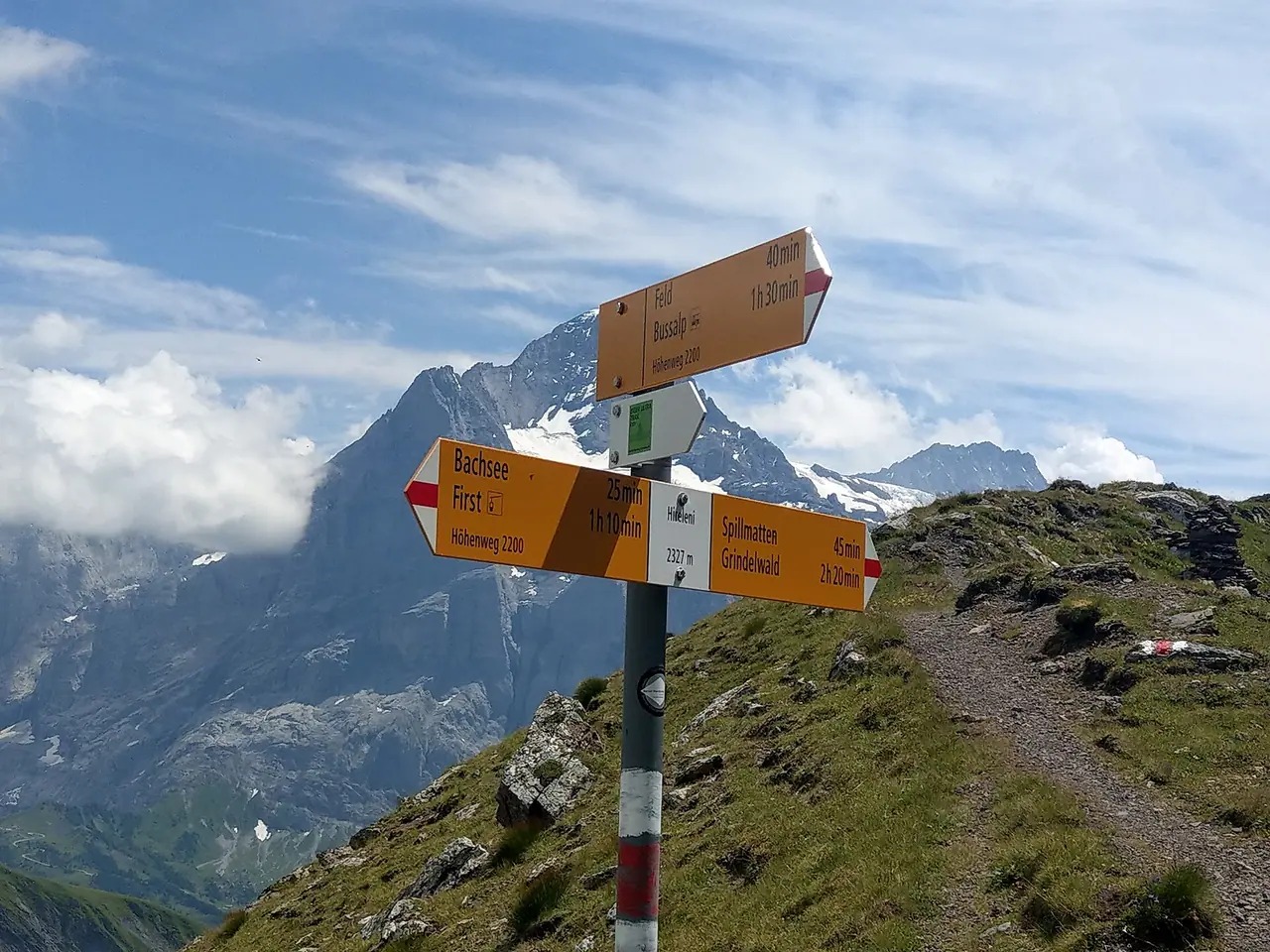
In Switzerland the paths are usually very well signposted with yellow signs. But it is still good to have the map offline, especially when the cloud comes in.
Don't forget a paper map and compass
I love hiking apps, but phones run out of battery, get wet and lose signal. AdventureSmart UK recommends carrying a map and compass even if you use GPS. If you use OS Maps Premium, you can print your route as a backup.
On remote walks with no phone signal at all, a satellite messenger is a good extra. The Garmin inReach Mini is the one I recommend for hiking in my guide to the best personal locator beacons and emergency GPS devices. It can send an SOS and messages without phone signal. The current model is the inReach Mini 3, so check which version you are buying.
Tips for using hiking apps
- Download offline maps at home on Wi-Fi, before you set off.
- Carry a power bank. Navigation apps drain your battery fast, especially in the cold.
- Check the route against a map. User routes can be out of date or cross private land.
- Look at the elevation, not just the distance. 8 km on the flat and 8 km up a mountain are very different days!
- Use GPX files. Many of my walk posts include GPX downloads, which you can import into OS Maps, AllTrails or Komoot.
- Know how to call for help. Dial 999, ask for the Police and then Mountain Rescue. Register for emergency SMS by texting "register" to 999.
For everything else to pack, see my day hike packing checklist.
FAQ
What is the best hiking app for the UK?
For hill walking, OS Maps is the best, because it has the detailed OS 1:25k and 1:50k maps of Great Britain offline. For finding popular routes with reviews, AllTrails is excellent. We normally use both.
Is OS Maps Premium worth it?
If you walk in the hills a few times a year, yes. At £35.99 a year (UK App Store, 2026) you get the whole of Great Britain offline, so it soon pays for itself if you would otherwise buy several paper maps.
Do hiking apps work without signal?
Yes, if you download the maps first. Your phone's GPS works without mobile signal. OS Maps Premium, AllTrails Plus, Komoot regions and swisstopo all offer offline maps.
Is what3words good for emergencies?
It can help, but mountain rescue teams say not to rely on it alone. Describe your location, give a grid reference if you can (OS Locate is free), and follow any location link the rescue team sends you by text.
Is AllTrails free?
The basic app is free, with trail search and navigation. Offline maps, wrong-turn alerts and live sharing need AllTrails Plus.
What is the best hiking app for Europe?
AllTrails and Komoot both cover Europe well. In Switzerland, the free swisstopo app has the official national maps and hiking trails.
Which hiking app do you use? Is there one I should try next? Let me know in the comments!
Photo credits (4)
All photos on this page are by other photographers and are used under free licences. Thank you for sharing them.
- Cover photo: Misty Summit (13825905253).jpg by oatsy40, CC BY 2.0, via Wikimedia Commons. Resized and cropped for this page.
- Photo 2: Olkhon Island, GPS navigation, Smartphone, Lake Baikal, Russia.jpg by Vyacheslav Argenberg, CC BY 4.0, via Wikimedia Commons. Resized for this page.
- Photo 3: Trig point, fence and hill walker at summit of Culter Fell - geograph.org.uk - 6645187.jpg by Trevor Littlewood, CC BY-SA 2.0, via Wikimedia Commons. Resized for this page.
- Photo 4: Swiss Hiking Network - Signpost - Hireleni.jpg by Gubaer, CC BY-SA 4.0, via Wikimedia Commons. Resized for this page.


join the conversation
Comments
No comments yet. Be the first to share your thoughts!