🥾 Trail guide · Västernorrland – High Coast (Höga Kusten)
Skuleberget Hike: The Cave Trail and Summit Loop on Sweden's High Coast

- Distance
- 3.7 km
- Ascent
- 270 m
- Time
- 2–3 hours
- Difficulty
- Moderate
- Route
- Circular
- Best season
- Late May–September (the chairlift and summit café run in summer)
👶 With kids: Many kids from about 5 can walk up on the South Mountain Trail, but avoid the steep Cave Trail with small children. The chairlift and the 800 m accessible Gröna slingan by Naturum are easy family options.
✅ Updated and fact-checked on 5 November 2026. Prices, timetables and rules can change, so check the official sources before you go.
This post contains affiliate links. If you book or buy through them, I may earn a small commission at no extra cost to you. More about this
Can you imagine a mountain that used to be a tiny island? About 10,500 years ago, when the ice melted, only the top of Skuleberget poked out of the sea. It was just 9 m high. The land has been rising ever since, and today Skuleberget is a 295 m mountain right next to the E4 on Sweden's High Coast (Höga Kusten). Near the top, a metal strip marks the old shoreline at 286 m above sea level. The county board says it is the highest marked shoreline in Sweden. Skuleberget also holds the world record for land uplift since the last ice age.
We haven't hiked this one yet, but it is high on our bucket list, so I've researched every detail for you. What I love about Skuleberget is that it packs a lot into a short walk. There is a steep climb past a huge cave, a café at the summit and a view over islands, bays and forest that is part of the High Coast/Kvarken Archipelago UNESCO World Heritage Site. And if your legs give up, there is even a chairlift!
Here is a fun fact. Carl Linnaeus, the famous botanist, stopped here on his way to Lapland in 1732 and described a dramatic climb up the steep slope. Below I describe my favourite loop, up the Cave Trail and down the South Mountain Trail, plus the easier options.
At a glance
- Distance: about 3.5–4 km for the loop up Grottstigen and down Södra Bergsstigen
- Elevation gain: around 250–270 m
- Allow 2–3 hours with a fika break at the top
- Difficulty: Moderate. The Cave Trail is short but very steep, with rocks, steps and railings
- Route type: Circular
- Start/finish: Naturum Höga Kusten car park, just north of Docksta on the E4
- Best season: late May to September. Snow and ice make the steep paths slippery in winter
- Prices: free to hike. Check the chairlift prices on its website
- Toilets: at Naturum Höga Kusten
- Dogs: welcome on a lead, but avoid the Cave Trail. Its metal grid steps can hurt paws
Route description
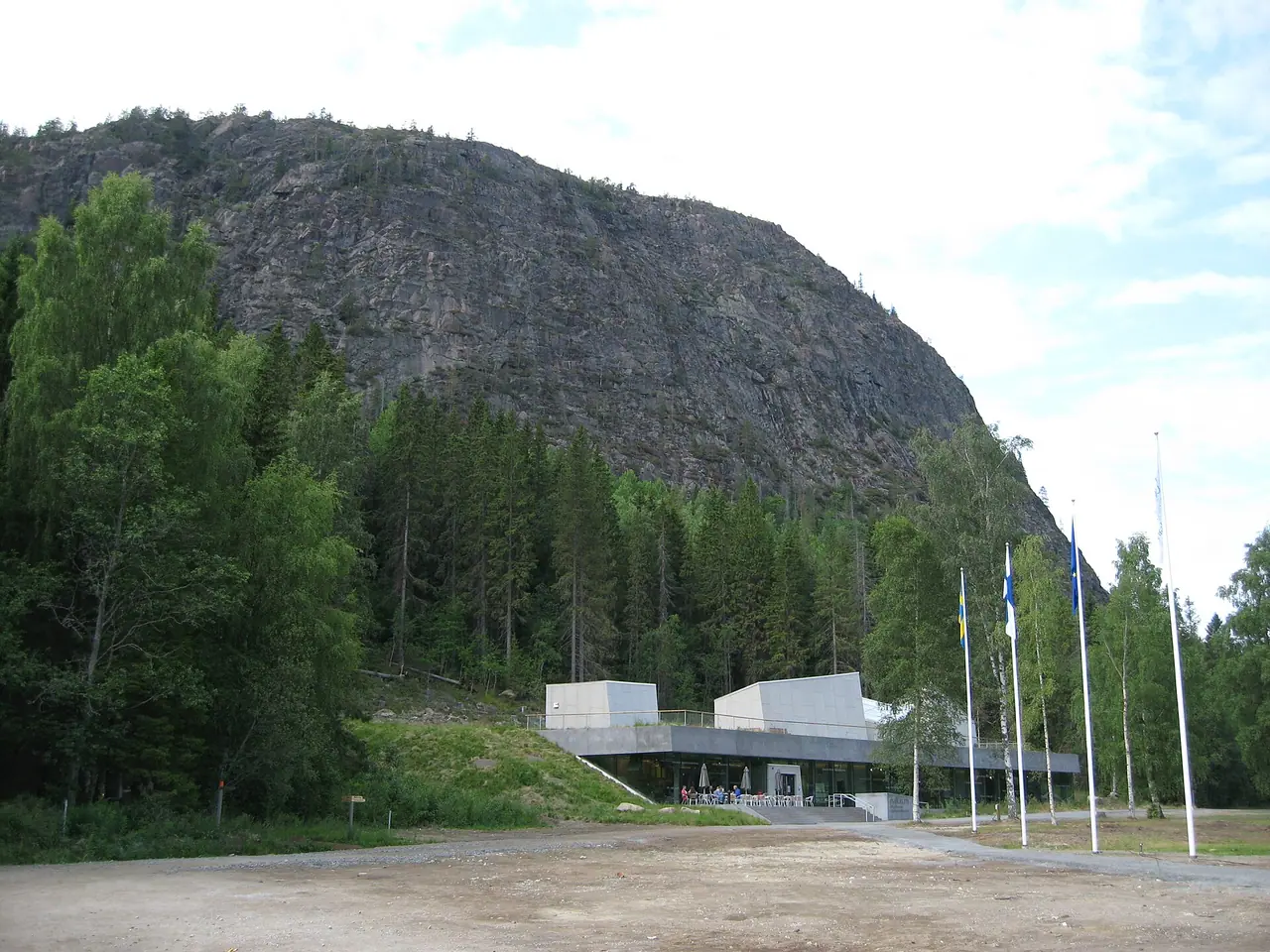
There are several trails to the top, all starting at Naturum Höga Kusten, the visitor centre at the eastern foot of the mountain. The county board recommends the Cave Trail for going up and the South Mountain Trail for coming down, so that is the loop I describe.
Grottstigen: the Cave Trail
Grottstigen is only about 600 m long, but it takes 30–40 minutes to climb. It is the shortest and steepest way up, over boulders, steps and metal stairs, with railings in the steepest places. The county board advises against it in wet weather, with small children and with dogs. It is also much easier going up than coming down.
Halfway up there is a short detour to the cave. This big opening in the cliff was probably carved out by waves when the sea was much higher. Archaeologists have found traces showing that Stone Age hunters and fishermen used it. King Karl XI visited in the 17th century, so it is called the King's Cave. It also has another name, the Robber's Cave, from old tales of robbers who attacked travellers in the forest of Skuleskogen. Nobody knows if those stories are true!
The summit
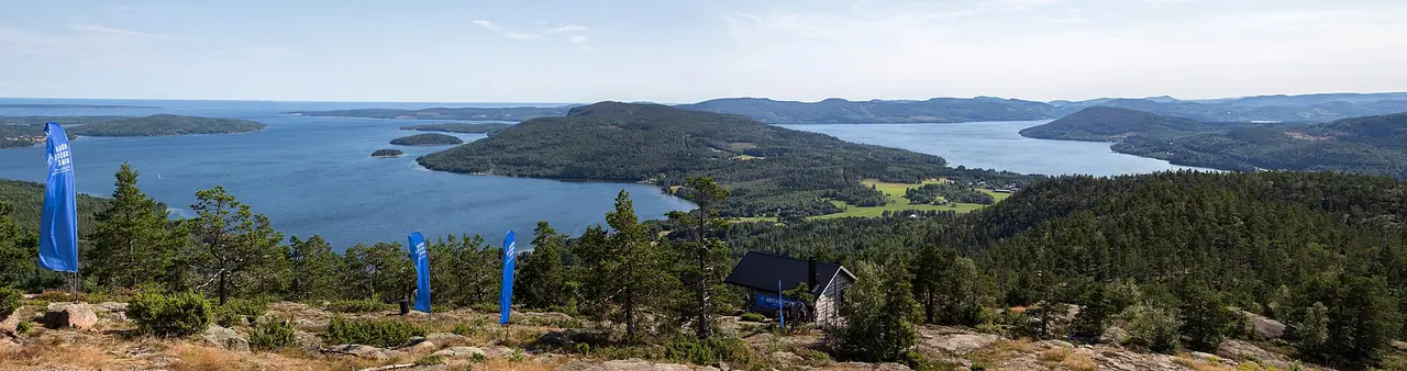
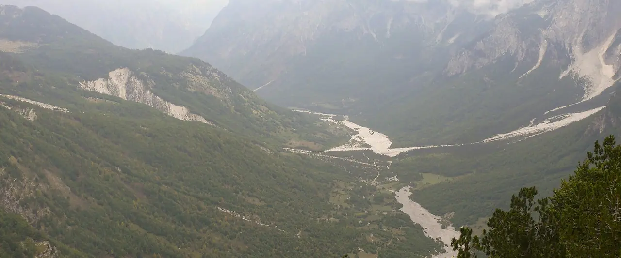
At the top the path flattens out. Skuleberget has a cap of soil and spruce forest, while its steep sides are bare rock. You will find Toppstugan, a summit café serving coffee and light meals in season, and a rest hut. Look for the metal strip that marks the highest coastline at 286 m. Then walk the Kalottstigen, a 900 m loop around the summit that follows the old shoreline, to the viewpoints. From here you see the islands, bays and forests of the High Coast spread out below you. It must be absolutely stunning at sunset.
Södra Bergsstigen back down
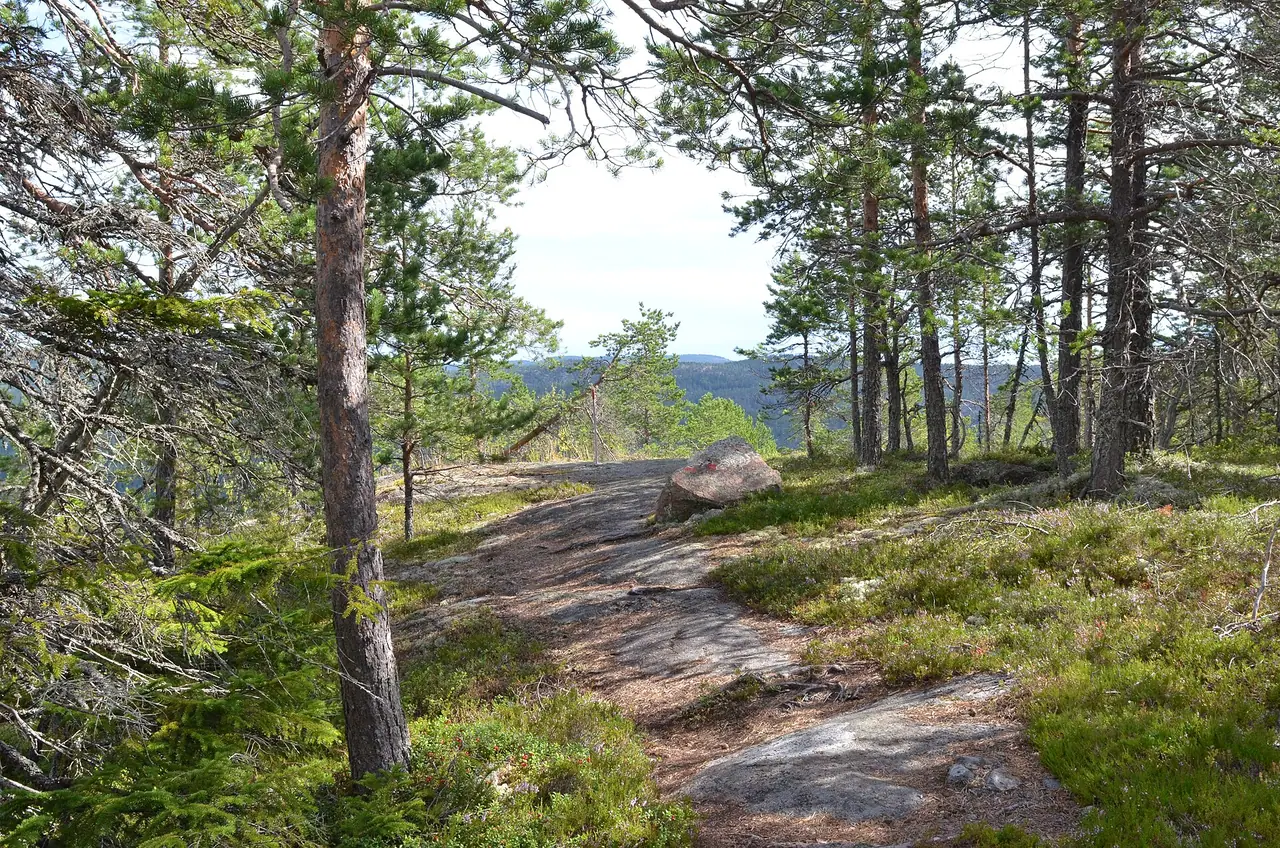
For the descent, follow Södra Bergsstigen, the South Mountain Trail. It is 2.5 km long and less steep than the Cave Trail, but still rocky and tiring. It takes about an hour down, with nice views to the south on the way. It brings you back to the Naturum car park.
Other ways up
- Höga kustenleden to the top: 2.7 km, about 1–1.5 hours up. It is stony and uneven but less steep than the Cave Trail, and shadier on warm days.
- Södra Bergsstigen up: 2.5 km, about 1–1.5 hours up, if you want to avoid the Cave Trail completely.
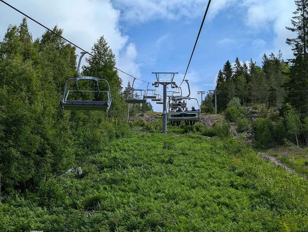
- The chairlift: Västra Bergsstigen links the summit with the lift on the west side of the mountain. You can ride up and walk down, or the other way round.
- Via ferrata: four fixed-wire climbing routes on the 250 m east face. You must book through the operator.
How to get there
By car
Skuleberget is right next to the E4, a few kilometres north of Docksta, between Härnösand and Örnsköldsvik. Follow the signs for Naturum Höga Kusten. For the chairlift, take the access road just north of Docksta.
Parking: there is a large car park at Naturum Höga Kusten, and it is ploughed all winter. If you plan to leave your car for a multi-day hike on the High Coast Trail, let the Naturum staff know.
By train and bus
Take the train to Örnsköldsvik or Härnösand. From there, regional buses run along the E4 and stop at Naturum Höga kusten E4, right at the start of the trails. Check the timetable on Din Tur, the county's public transport website, as the buses are not very frequent.
Permits, fees & opening times
- You don't need a permit, and the trails are free to walk all year.
- Naturum Höga Kusten: open from March to November, with exhibitions, guided tours in summer and a restaurant with café and lunch.
- Chairlift (Skulebergets Linbana): runs in the summer season. The ride takes about 10–20 minutes and stops in strong wind. Check times and prices on skulebergetslinbana.se.
- Toppstugan: the summit café is seasonal, so check its opening hours before you rely on it for lunch.
- Nature reserve rules: dogs on a lead, no tents, and fires only at the designated sites.
When to go
Summer is the best time if you want the café and the chairlift. The days are long, so you can climb in the evening light too. In my opinion, early autumn should be lovely too, with fewer people on the trails.
In winter the car park is ploughed and you can still climb. However, the steep rocks and metal stairs get icy, so I would skip the Cave Trail and wear ice grips. Whatever the season, avoid Grottstigen after rain, as the rock and steps get slippery.
Hiking with kids
Suitable for children: yes, but it depends on how used they are to tough terrain. Naturum say some five-year-olds can walk up and down by themselves, but not every child can. Avoid Grottstigen with small children and take the South Mountain Trail instead.
- Easy option: ride the chairlift up and enjoy the summit. There are accessible paths at the top to Toppstugan and the two viewpoints.
- Pushchairs: not on the mountain trails. But Gröna slingan, an 800 m wheelchair-accessible forest path by Naturum, is great for little ones.
- Playground: there is an explorer playground in front of Naturum, themed on the World Heritage Site.
- Keep them engaged: find the highest coastline mark and tell them the whole mountain was once a tiny island. Then peek into the cave and talk about the robbers.
What to pack
- Walking boots with good grip for the rocky paths
- A waterproof and a warm layer, as it is windier on top
- Water and snacks, or money for a fika at Toppstugan
- Ice grips in winter
- A dog harness if your dog is coming on the chairlift
If you have a toddler, bring an all-terrain pushchair for Gröna slingan and the area around Naturum. We use the Out n About Nipper with Peter, and I still think it is one of the best pushchairs for muddy paths, snow and beaches. You can read my full Out n About Nipper review.
Safety tips
- Go up the Cave Trail, not down. Coming down the steep rocks is much harder.
- Skip the Cave Trail when it is wet or icy.
- Stay back from the edges on the summit. The east face drops about 250 m.
- Keep dogs on a lead and off the metal grid stairs.
- In an emergency, call 112.
Leave no trace & sustainable tips
- Don't build rock towers. Moving rocks is not allowed in the nature reserve.
- Leave the plants alone. The warm east slope has rare plants such as wild hazel and small-leaved lime, at some of their northernmost spots.
- Only light fires at the designated sites, and never pitch a tent in the reserve.
- Take your rubbish home.
- Come by bus. The stop is right outside Naturum.
Where to stay & eat nearby
- Docksta, just south of Skuleberget, is the closest village and a handy base.
- Friluftsbyn, near the mountain, has a campsite, cottages and a café. Tents are allowed there.
- Skuleberget Havscamping has a campsite and cottages by the sea (no tents).
- Naturum Höga Kusten has a restaurant and café for lunch after the hike, and Toppstugan serves coffee and light meals at the summit.
- Örnsköldsvik and Härnösand have the widest choice of hotels and restaurants.
More to explore nearby
- Skuleskogen National Park: on the other side of the E4, with forest, rocky hills and Baltic shores. Its west entrance is about 5 km north of Skuleberget.
- Höga Kustenleden: the 128 km High Coast Trail passes Skuleberget, so you can walk a section in either direction.
- Via ferrata: climb the east face of Skuleberget on fixed wires with the local operator.
- Naturum exhibitions: learn how the land uplift shaped the High Coast. The land is still rising by about 8 mm a year.
FAQ
How long does it take to climb Skuleberget?
The Cave Trail takes about 30–40 minutes up. The other trails take about 1–1.5 hours up. The full loop up the Cave Trail and down the South Mountain Trail takes 2–3 hours with a break at the top.
How high is Skuleberget?
Skuleberget is 295 m high. The highest coastline mark near the top is at 286 m above sea level.
Is there a cable car up Skuleberget?
Yes, there is a chairlift on the west side, which runs in the summer season and stops in strong wind. Check skulebergetslinbana.se for times and prices.
Can children climb Skuleberget?
Yes, many can. Naturum say some five-year-olds manage it by themselves. Avoid the steep Cave Trail with small children and use the South Mountain Trail.
Can I bring my dog up Skuleberget?
Yes, on a lead. Avoid the Cave Trail, as the metal grid stairs can hurt paws. Dogs can ride the chairlift at the owner's risk if they wear a harness.
Have you climbed Skuleberget? Did you take the Cave Trail or the chairlift? Let me know in the comments!
Photo credits (4)
All photos on this page are by other photographers and are used under free licences. Thank you for sharing them.
- Cover photo: High Coast from Skuleberget - Panorama.jpg by P.Lindgren, CC BY-SA 3.0, via Wikimedia Commons. Resized and cropped for this page.
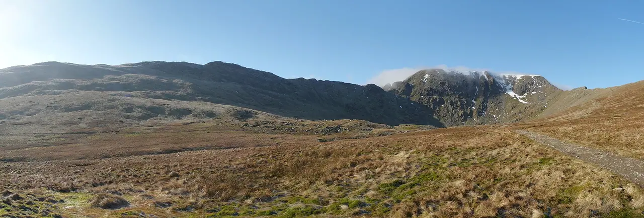
- Photo 2: Skuleberget.JPG by Babben (Babiarne), Public domain, via Wikimedia Commons. Resized for this page.
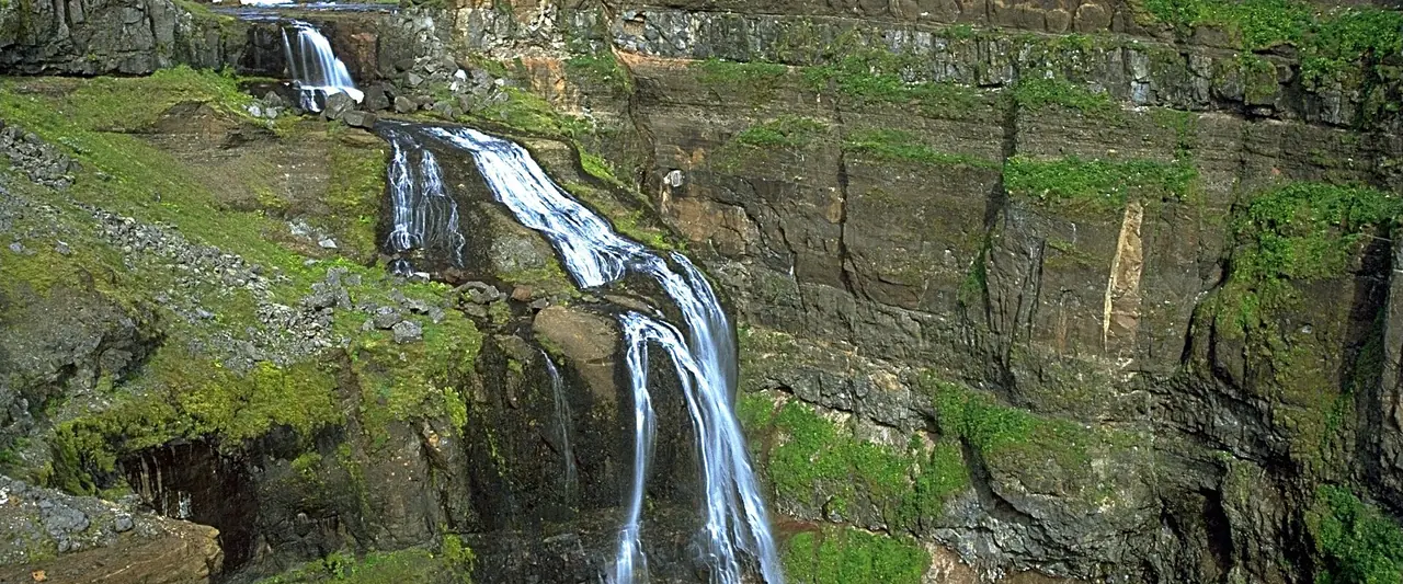
- Photo 3: Skuleberget 2016 13.jpg by Jan Ainali, CC BY-SA 4.0, via Wikimedia Commons. Resized for this page.
- Photo 4: Skuleberget, linbana - 20240619 - 1.jpg by AleWi, CC BY-SA 4.0, via Wikimedia Commons. Resized for this page.


join the conversation
Comments
No comments yet. Be the first to share your thoughts!