🥾 Trail guide · Otago – Wānaka
Roys Peak Track: A Complete Guide to Wānaka's Most Famous Viewpoint Hike

- Distance
- 16 km
- Ascent
- 1200 m
- Time
- 5–6 hours
- Difficulty
- Challenging
- Route
- Out and back
- Best season
- Mid-November to autumn (closed 1 October–10 November for lambing)
👶 With kids: Only for fit, experienced older children: it is 16 km with over 1,200 m of climbing, no shade and no water. Not suitable for pushchairs.
✅ Updated and fact-checked on 5 November 2026. Prices, timetables and rules can change, so check the official sources before you go.
This post contains affiliate links. If you book or buy through them, I may earn a small commission at no extra cost to you. More about this
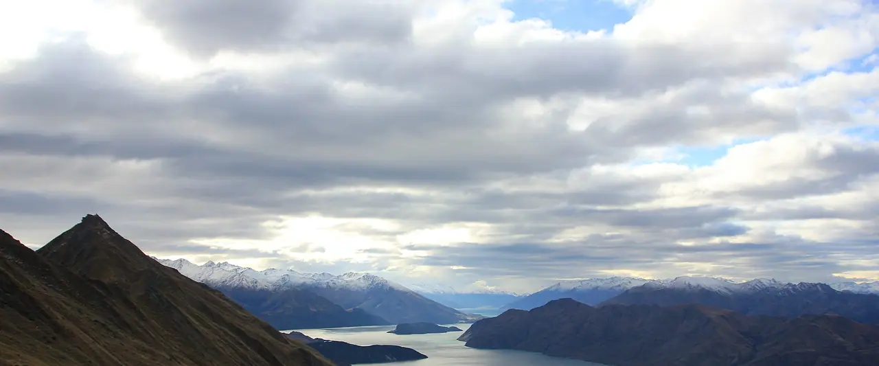
Have you seen that famous photo of a hiker standing on a narrow ridge, with Lake Wānaka and its little peninsulas spread out below? That is Roys Peak. It is probably the most photographed viewpoint in New Zealand, and it sits just 6 km from Wānaka town. The summit is at 1,578 m, and on a clear day you can see all the way to Mount Aspiring/Tititea.
We haven't hiked this one yet, but it's high on our bucket list, so I've researched every detail for you. I used the Department of Conservation (DOC) pages first, plus the local tourism board and transport operators.
However, don't be fooled by the Instagram shots. This is a long, steep, relentless climb with over 1,200 m of ascent and no shade at all. The track is also closed every spring for lambing. In fact, as I write this in early November 2026, it is still closed until 10 November. So read the dates below before you plan your trip!
At a glance
- Distance: about 16 km return, on the same track up and down
- Elevation gain: over 1,200 m
- Allow 5–6 hours return, plus time for photos and breaks
- Difficulty: Challenging. DOC says you need a high level of fitness
- Route type: Out and back
- Start/finish: Roys Peak car park on Wānaka–Mount Aspiring Road, about 6 km west of Wānaka
- Highest point: Roys Peak summit, 1,578 m
- Closed: every year from 1 October to 10 November for lambing
- Prices: free to walk, and parking is free too
- Toilets: two, one at the car park and one near the famous photo viewpoint
- Water: none on the track, so carry all you need
- Dogs: most of the track crosses a working sheep farm, so I suggest leaving your dog at home
Route description
Car park and farmland
The track leaves the car park and starts climbing straight away. There is no warm-up! The lower part zig-zags steeply up open farmland on the side of Mount Roy. Most of this land is private, and the track crosses it thanks to the landowner. So stay on the marked track, leave gates as you find them and use the stiles. Give the sheep plenty of space, especially in spring when there are young lambs around.
Fun fact: the peak is named after an early settler who held the lease on this land. The views over Lake Wānaka open up very quickly behind you. Turn around often to catch your breath.
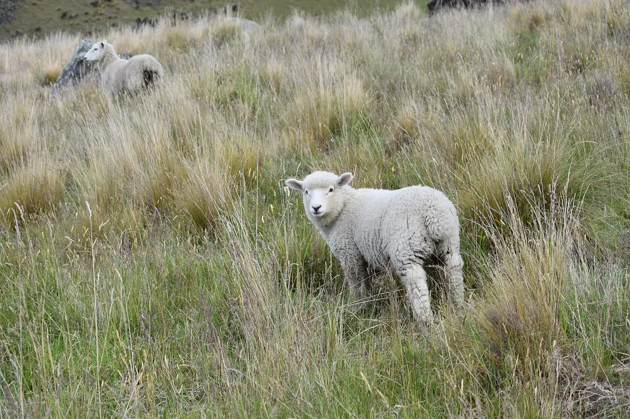
Into the tussock
Higher up, the farmland turns into golden tussock. The track keeps zig-zagging up the slope, and it really does not let up. This is where many people start to struggle, especially on hot summer days. There is no shade anywhere, so take short breaks, drink often and eat something salty. Above about 1,000 m you are in avalanche terrain, which matters in winter and early spring.
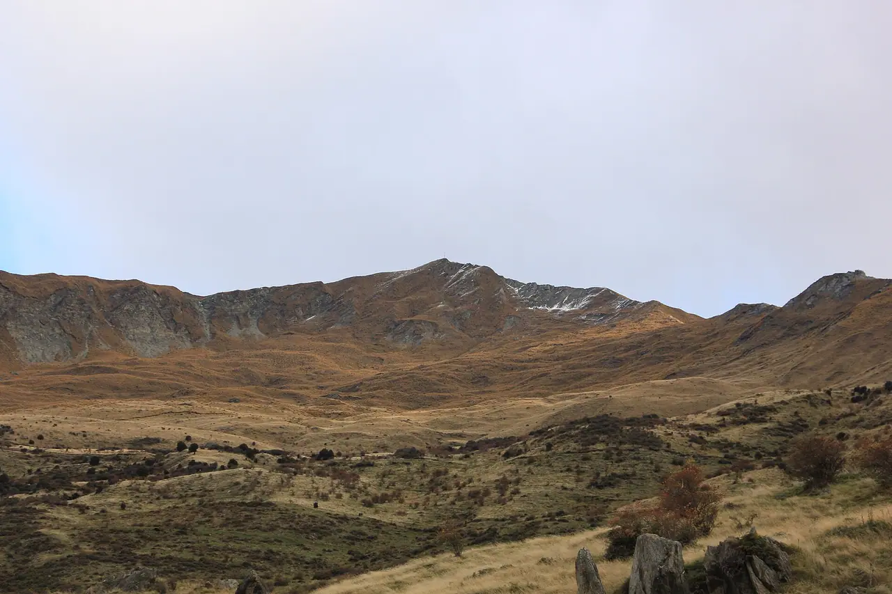
The famous photo viewpoint
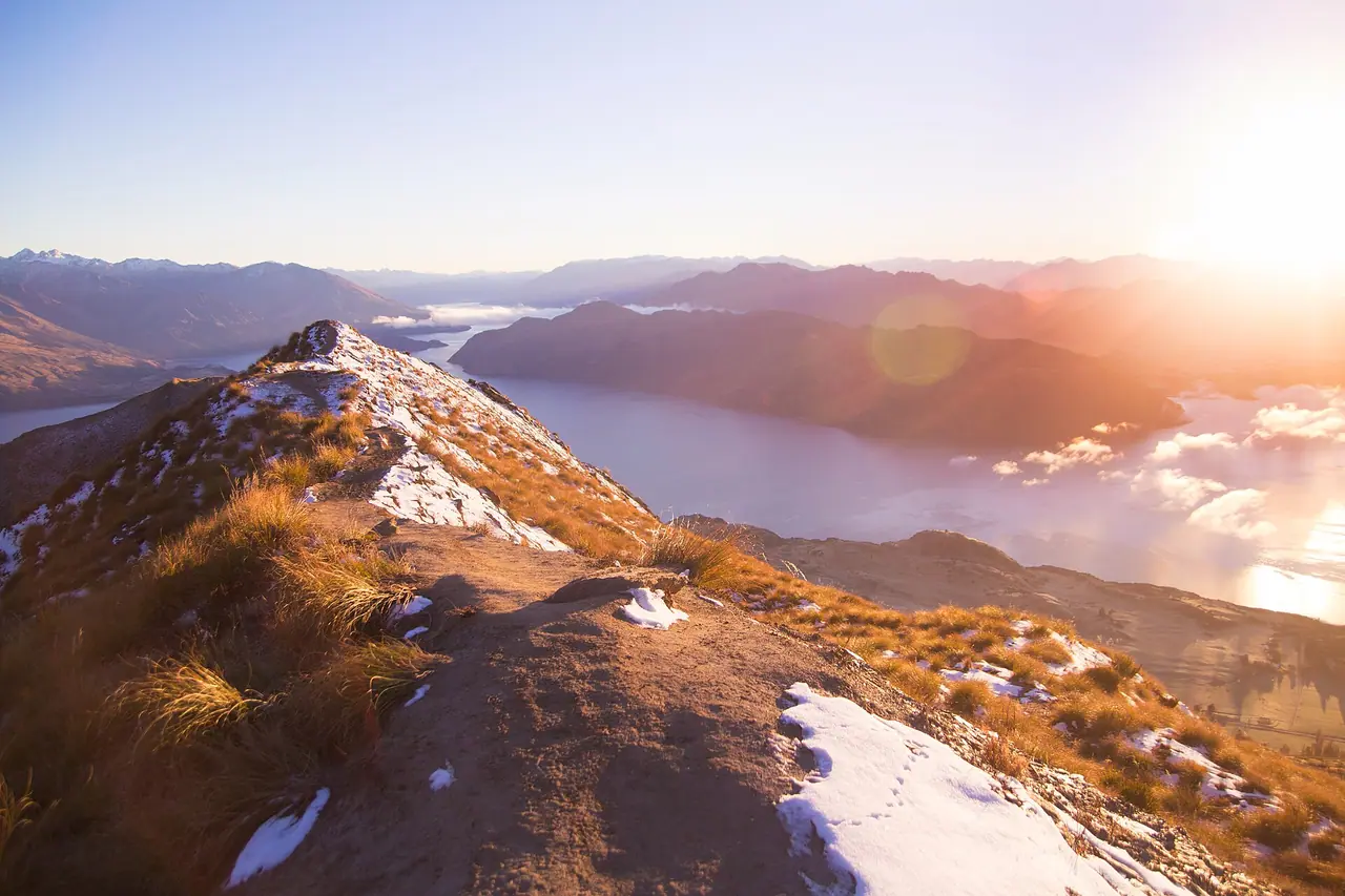
Roughly 30 minutes before the summit you reach the ridge with the famous photo viewpoints. This is the spot from all those pictures, with the lake curving away below you and the snowy Southern Alps behind. There is a toilet near here too. Expect a queue for the classic photo on busy summer days. Please be patient and careful near the edge!
Roys Peak summit
From the viewpoint, the track carries on up the ridge to the summit at 1,578 m. The views from the top are even wider, and on a clear day you can see Mount Aspiring/Tititea. The upper track is alpine, so it can be much colder and windier up here than in town. Put on a warm layer before you stop for your picnic.
Back down the same way
You return the same way you came up. The descent is steep and hard on the knees, and the gravel can be slippery. I recommend walking poles here. Experienced trampers can carry on from the summit along the Skyline Track instead. However, it is a much longer and tougher route, with no water, so only consider it if you have the experience and a transport plan at the other end.
How to get there
By car and parking
From Wānaka, drive west along Wānaka–Mount Aspiring Road for about 6 km. The Roys Peak car park is on your left.
Parking: free for cars and campervans. However, the car park gets very busy, and DOC warns there may be no spaces left. Do not park on the edge of the road! I suggest arriving early, or leaving the car in town and using a shuttle, taxi or your bike.
Public transport and shuttles
There is no regular public bus to the trailhead. DOC says shuttles and taxis are available, and the Wānaka i-SITE can help you find one. To reach Wānaka itself, InterCity runs a daily bus from Athol Street in Queenstown to the Log Cabin on the lakefront at 100 Ardmore Street. The journey takes about 1 hour 45 minutes. Check the current timetable and fares on the InterCity website.
On foot or by bike
You can walk or cycle from Wānaka to the start using the Waterfall Creek Track, the Glendhu Bay Track and a short section of road. These lakeside tracks are not managed by DOC. It is a lovely way to arrive, but it adds quite a bit to an already long day. Also, bikes are not allowed on the Roys Peak Track itself, so bring a lock.
Permits, fees & opening times
- Permits: you don't need a permit or a ticket to walk Roys Peak.
- Prices: free. Parking at the car park is also free.
- Lambing closure: the track is closed every year from 1 October to 10 November. The land is a working farm, and the closure protects the ewes and lambs. So as of 5 November 2026 the track is closed, and it should reopen on 11 November. Please respect the closure!
- Alternative during the closure: DOC recommends the Isthmus Peak Track near Lake Hāwea. It is a similar length and difficulty, less busy and the views are just as good.
- Rules: no mountain bikes and no campfires. You cannot fly a drone without a permit.
Always check the DOC Roys Peak Track page for alerts before you go.
When to go
The main season is from mid-November, when the track reopens, until autumn. Summer is very hot on this exposed slope, with no shade and no water. So DOC suggests avoiding the hottest part of the day. Many people start before dawn to catch the sunrise from the ridge. It sounds magical, but DOC points out that hiking in the dark is not the safest option. If you do it, bring a proper head torch with spare batteries and very warm clothes. A phone torch is not good enough.
Autumn weather is really variable, with heat, cold and even snow possible. In winter, snow and ice make the track much harder, and daylight hours are short. You may need microspikes and poles, and you should check the New Zealand Avalanche Advisory. Spring can still feel like winter, with frozen ground and cold temperatures. In my opinion, a calm, clear autumn morning sounds perfect, with fewer people and softer light for photos.
Hiking with kids
Suitable for children: only for fit, experienced older kids who are used to long, steep days. For most families I would not recommend it. It is 16 km with more than 1,200 m of climbing, no shade and no water.
- Pushchairs: not suitable. The track is steep, gravelly and narrow in places.
- Turn around early: you don't have to reach the top. Even an hour up the farmland gives you lovely views over the lake.
- Easier family options: the Diamond Lake walks and the flat lakeside tracks around Wānaka are much better for little legs (see below).
What to pack
- Sturdy hiking boots or shoes with good grip
- Plenty of water, at least 2 litres per person in summer, as there is none on the track
- Food and salty snacks for a full day
- Sunscreen, sunglasses, a sun hat and a long-sleeved top
- A warm layer and a waterproof, windproof jacket, even on sunny days
- A head torch with spare batteries if you start early or finish late
- A fully charged phone
- Walking poles for the long descent, and microspikes in winter
The upper track is alpine, and phone signal can be patchy in the mountains. So for big days like this I like the idea of carrying a satellite messenger. The Garmin inReach Mini is one I recommend in my personal locator beacon guide, because you can send messages and an SOS from anywhere.
Safety tips
- Start early. It is a full-day hike, and you don't want to be on the exposed slope in the midday heat.
- Check the weather. The upper track is alpine, and the weather can change suddenly at any time of year.
- Turn back if needed. Low cloud, strong wind or snow are all good reasons to stop at the viewpoint or earlier.
- Winter means avalanche terrain. Above 1,000 m, check the New Zealand Avalanche Advisory or ask at the Tititea/Mt Aspiring National Park Visitor Centre in Wānaka.
- Take care on the descent. Loose gravel and tired legs cause most slips.
- In an emergency, call 111 and ask for the Police.
Leave no trace & sustainable tips
- Respect the lambing closure. The track only exists because the landowner allows access. Walking it during the closure puts that at risk.
- Stay on the marked track. Cutting the zig-zags causes erosion and damages the farm.
- Leave gates as you find them and give livestock plenty of space.
- Take all your rubbish home, including fruit peel and tissues.
- Share a ride. Carpool, take a shuttle or cycle out along the lake to ease the pressure on the car park.
Where to stay & eat nearby
- Wānaka is the obvious base, only 6 km away. There are hotels, motels, holiday homes and backpacker hostels, plus lots of cafés, restaurants and supermarkets for picnic supplies.
- Hampshire Holiday Parks – Glendhu Bay (formerly Glendhu Bay Motor Camp) sits right on the lakeshore at 1127 Mount Aspiring Road, a little further on from the trailhead. It has cabins and powered and unpowered sites, so it is a lovely option if you are travelling by campervan.
- There are no cafés on the track or at the car park. So pack lunch in town and treat yourself to a big dinner in Wānaka afterwards. You have earned it!
More to explore nearby
- Isthmus Peak: DOC's recommended alternative during the Roys Peak closure. It is quieter, and DOC says the views are just as spectacular.
- Diamond Lake and Rocky Mountain: about 18.5 km west of Wānaka on the same road. The Rocky Mountain summit return takes about 3 hours (7 km), and there is a shorter loop around Diamond Lake.
- Glendhu Bay Track: a lakeside track for walking or cycling between Wānaka and Glendhu Bay. The first part from town, along Waterfall Creek, is flat and easy.
- Mount Aspiring National Park: Mount Aspiring Road carries on past Glendhu Bay towards this World Heritage national park. Ask at the Tititea/Mt Aspiring National Park Visitor Centre in Wānaka for track conditions.
FAQ
How long does the Roys Peak Track take?
Allow 5–6 hours for the 16 km return hike to the summit, plus time for photos and breaks. The famous viewpoint is about 30 minutes below the summit, so turning around there saves about an hour.
When is Roys Peak closed?
The track closes every year from 1 October to 10 November for lambing, because it crosses a working farm. In 2026 it should reopen on 11 November. Check the DOC page for any extra alerts.
Is Roys Peak hard?
Yes, it is a tough day. You climb over 1,200 m on a steep, zig-zagging track with no shade and no water. You don't need any technical skills, but you do need good fitness.
Is there parking at Roys Peak?
Yes, there is a free car park for cars and campervans about 6 km from Wānaka. It fills up quickly, so arrive early or use a shuttle. Never park on the edge of the road.
Can I hike Roys Peak for sunrise?
Many people do, but DOC says hiking in the dark is not the safest option. If you go, bring a proper head torch, spare batteries and very warm clothing.
Have you hiked Roys Peak, or are you planning to? Let me know in the comments!
Photo credits (4)
All photos on this page are by other photographers and are used under free licences. Thank you for sharing them.
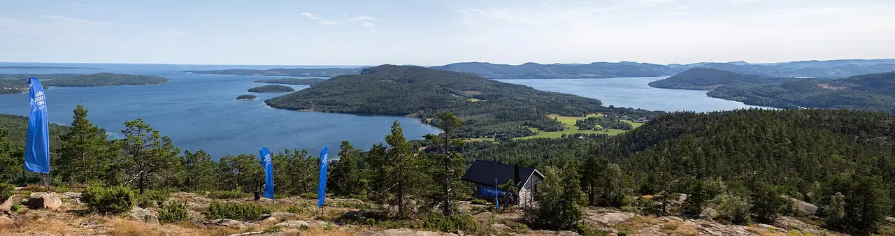
- Cover photo: Roys Peak Mountain near Lake Wanaka.jpg by Julrob Photography, CC BY-SA 4.0, via Wikimedia Commons. Resized and cropped for this page.
- Photo 2: Roys Peak Mountain near Lake Wanaka (2).jpg by Julrob Photography, CC BY-SA 4.0, via Wikimedia Commons. Resized for this page.
- Photo 3: Wanaka, New Zealand, view 5.jpg by Sky_xe, CC BY-SA 4.0, via Wikimedia Commons. Resized for this page.
- Photo 4: Sunrise at Roy's Peak (Unsplash).jpg by Jingwei Ke lenscapism, CC0, via Wikimedia Commons. Resized for this page.


join the conversation
Comments
No comments yet. Be the first to share your thoughts!